Rain, snow, wintry mix could impact DC region Tuesday afternoon and evening
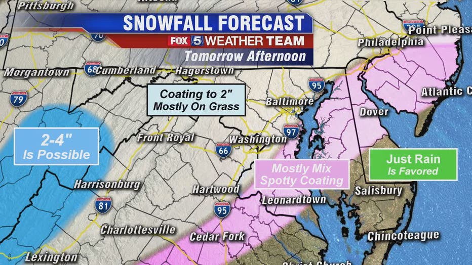
WASHINGTON - A quiet Monday -- but all eyes are on a rain, snow, wintry mix threat that could move into the D.C. area in time to impact the Tuesday afternoon and evening commutes.
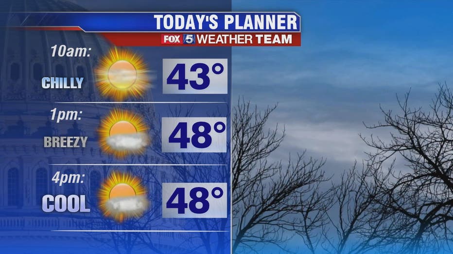
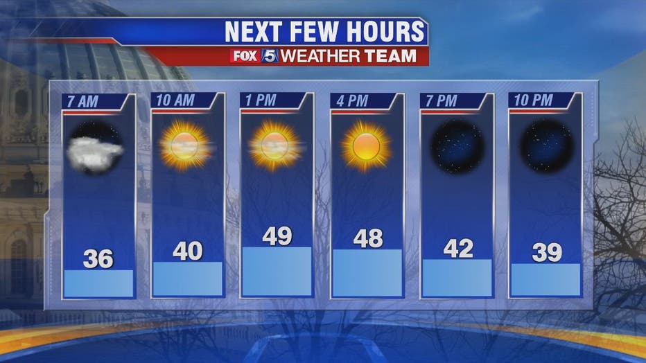
There will be no shortage of sunshine Monday as a ridge of high pressure builds bringing in warmer temperatures and less wind than Sunday with highs near 50 degrees.
Download the FOX 5 Weather App

Enjoy the calm and the sun because a storm system is expected to move in on Tuesday making its presence known with snow, wintry mix and in some areas rain.
Temperatures at the surface -- for the most part -- will be too warm for any major accumulations. But temperatures will also be the factor, along with the storm's track, that determines the type of precipitation, amounts and heaviest locations.
WHAT TO WATCH FOR:
Tuesday Morning
Expected to be Dry
Commute Should be Fine
Tuesday Late AM / Early PM
Starts 11am – 2pm in DC
Likely to Start as Rain Mix
Tuesday Late PM
Mix Changing to Snow
Slick Spots after Sunset
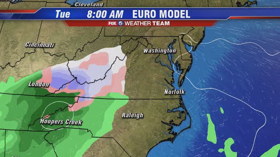
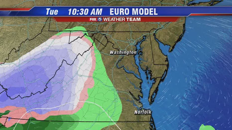
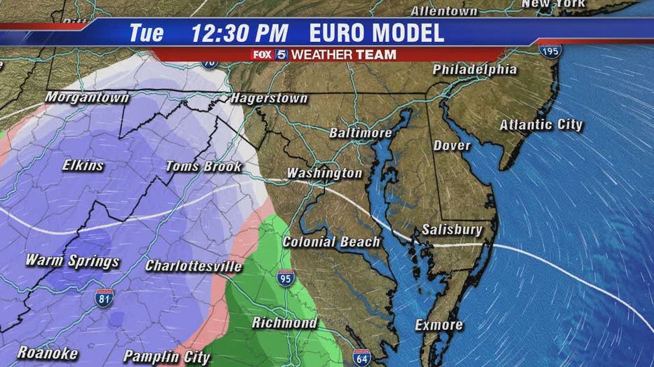
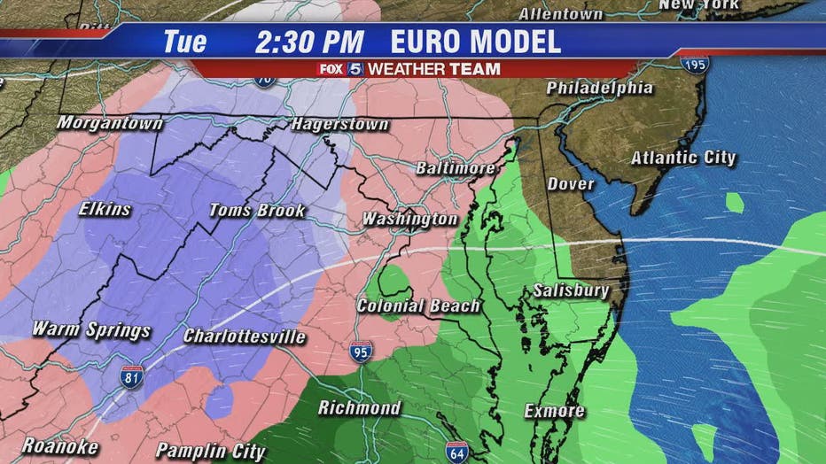
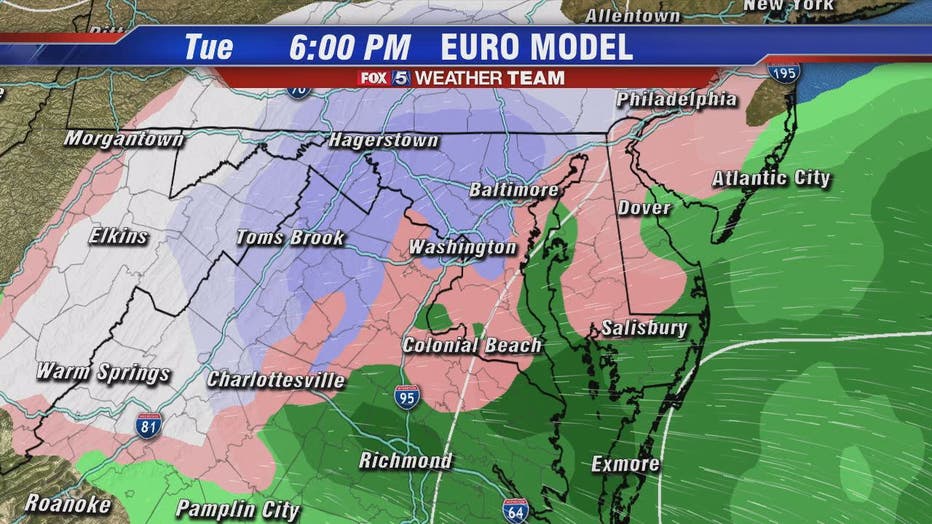
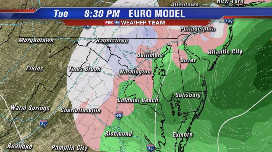
As of Monday, it looks like snow will accumulate north and west of the D.C. Metro region -- and given the limited amount of moisture the system has -- accumulations could be light. The system is presenting challenges so anything could change.
Stay with FOX 5 on the app and online for weather updates:
Get the latest FOX 5 forecast here.
Check the latest Closings and Delays
Download the FOX 5 DC News App for Local Breaking News and Weather
Download the FOX 5 Weather App
Check the latest weather radars
Check for power outages in DC region
Stay up to date with the FOX 5 Weather Team on Twitter:

